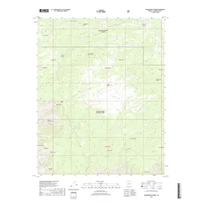
2018 Map of Kanabownits Spring
USGS Topo · Published 2018About this map
Kaibab National Forest and Grand Canyon National Park meet in this high-altitude landscape dominated by the Kaibab Plateau. The map documents a complex system of drainage and erosion where the plateau edge drops sharply into deep features like Modred Abyss and Gawain Abyss. These names, alongside Galahad Point and Bedivere Point, reflect a distinct Arthurian naming tradition common in this region of the canyon.
Find a feature on this map
38 named features on this map. Tap any name to fly to it.
Don’t see what you’re looking for? This feature index may not catch every label — zoom into the map to look around manually.
Map Details
Editions of this 2018 Kanabownits Spring Map
This is the sole edition of this map. No revisions or reprints were ever made.
Other maps of this area

1886 · Kaibab
USGS Topo · 1:250,000

1903 · Bright Angel
USGS Topo · 1:48,000

1906 · Bright Angel
USGS Topo · 1:48,000

1953 · Grand Canyon
USGS Topo · 1:250,000

1957 · Grand Canyon
USGS Topo · 1:250,000

1958 · Grand Canyon
USGS Topo · 1:250,000

1960 · Grand Canyon
USGS Topo · 1:250,000

1962 · Bright Angel
USGS Topo · 1:48,000

1962 · De Motte Park
USGS Topo · 1:62,500

1962 · Havasupai Point
USGS Topo · 1:62,500