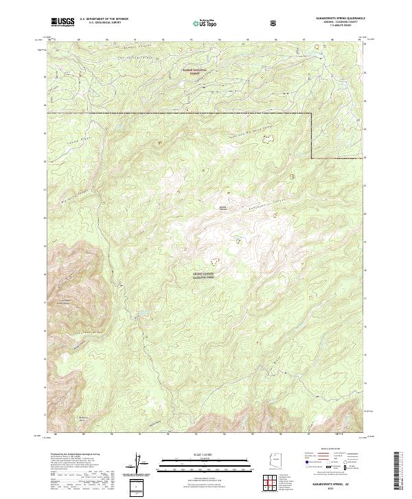
2021 Map of Kanabownits Spring
USGS Topo · Published 2021About this map
The Kaibab National Forest and Grand Canyon National Park meet in this 2021 study of the high Kaibab Plateau. The landscape is defined by the dramatic descent from the forested tablelands into the northern recesses of the Grand Canyon, where legendary geographic names such as Shinumo Amphitheater, Gawain Abyss, and Modred Abyss mark the deep, carved drainages. This modern survey illustrates the intricate network of canyons and ridges that feed into the larger Kanab Canyon system.
Find a feature on this map
34 named features on this map. Tap any name to fly to it.
Don’t see what you’re looking for? This feature index may not catch every label — zoom into the map to look around manually.
Map Details
Editions of this 2021 Kanabownits Spring Map
This is the sole edition of this map. No revisions or reprints were ever made.
Other maps of this area

1886 · Kaibab
USGS Topo · 1:250,000

1903 · Bright Angel
USGS Topo · 1:48,000

1906 · Bright Angel
USGS Topo · 1:48,000

1953 · Grand Canyon
USGS Topo · 1:250,000

1957 · Grand Canyon
USGS Topo · 1:250,000

1958 · Grand Canyon
USGS Topo · 1:250,000

1960 · Grand Canyon
USGS Topo · 1:250,000

1962 · Bright Angel
USGS Topo · 1:48,000

1962 · De Motte Park
USGS Topo · 1:62,500

1962 · Havasupai Point
USGS Topo · 1:62,500