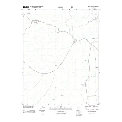
2011 Map of Kane Gulch
USGS Topo · Published 2011About this map
Sphinx Rock and the high vantage of Bridge View overlook a complex landscape of canyon systems and expansive mesas in this 2011 survey of San Juan County. The western edge of the quadrangle includes the Natural Bridges National Monument Campground, while a modern Photovoltaic Array marks a transition in infrastructure. The topography is defined by significant flats and drainages, including Grand Flat, Mormon Flat, and Harmony Flat, which transition into the deep incisions of Fortress Canyon and Lyman Canyon. Historical and recreational access points are centered around the Kane Gulch Trailhead and routes like Burch Canyon Rd and Elk Mtn. The hydrology of the area is anchored by White Canyon Creek and Maverick Spring near Maverick Point, illustrating the critical water sources in an otherwise arid high-desert environment.
Find a feature on this map
22 named features on this map. Tap any name to fly to it.
Don’t see what you’re looking for? This feature index may not catch every label — zoom into the map to look around manually.
Map Details
Editions of this 2011 Kane Gulch Map
This is the sole edition of this map. No revisions or reprints were ever made.
Other maps of this area

1886 · Henry Mountains
USGS Topo · 1:250,000

1886 · Abajo
USGS Topo · 1:250,000

1892 · Abajo
USGS Topo · 1:250,000

1892 · Henry Mountains
USGS Topo · 1:250,000

1893 · Abajo
USGS Topo · 1:250,000

1935 · Elk Ridge
USGS Topo · 1:96,000

1940 · Elk Ridge
USGS Topo · 1:125,000

1952 · Natural Bridges
USGS Topo · 1:62,500

1954 · White Canyon 4 NE
USGS Topo · 1:24,000

1954 · White Canyon 4 SE
USGS Topo · 1:24,000