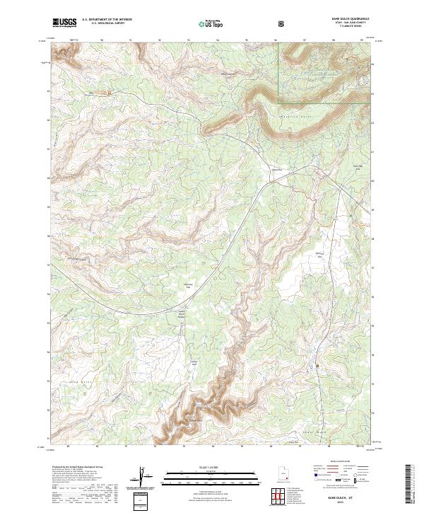
2023 Map of Kane Gulch
USGS Topo · Published 2023About this map
Manti-La Sal National Forest dominates the northern reaches of this high desert landscape, where deep incisions like White Canyon and Kane Gulch carve through the sedimentary layers of the Colorado Plateau. The area is defined by its dramatic topographic relief, featuring extensive flats and points such as Maverick Point, Grand Flat, and Step Point. These elevated benches are separated by complex drainage systems including Armstrong Canyon and Pine Canyon.
Find a feature on this map
32 named features on this map. Tap any name to fly to it.
Don’t see what you’re looking for? This feature index may not catch every label — zoom into the map to look around manually.
Map Details
Editions of this 2023 Kane Gulch Map
This is the sole edition of this map. No revisions or reprints were ever made.
Other maps of this area

1886 · Henry Mountains
USGS Topo · 1:250,000

1886 · Abajo
USGS Topo · 1:250,000

1892 · Abajo
USGS Topo · 1:250,000

1892 · Henry Mountains
USGS Topo · 1:250,000

1893 · Abajo
USGS Topo · 1:250,000

1935 · Elk Ridge
USGS Topo · 1:96,000

1940 · Elk Ridge
USGS Topo · 1:125,000

1952 · Natural Bridges
USGS Topo · 1:62,500

1954 · White Canyon 4 NE
USGS Topo · 1:24,000

1954 · White Canyon 4 SE
USGS Topo · 1:24,000