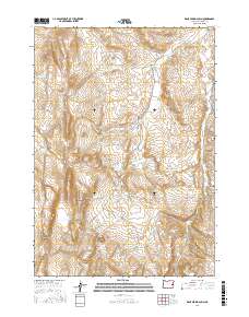
2017 Map of Kane Spring Gulch
USGS Topo · Published 2017About this map
Kane Spring Gulch defines the remote high-desert topography of Malheur County, Oregon, where water management is the primary driver of human modification on the landscape. The distribution of features like Little Sandy Reservoir and Broken Rim Reservoir underscores the importance of capturing seasonal runoff in this arid region. Ranching and land use are further evident in the naming of several critical water sources, including Whiskey Spring Number Two, Hanging Rock Spring, and Sponge Spring. The map captures a section of the eastern Oregon desert connected by primitive routes like Rock Canyon Rd, which skirts Sagebrush Gulch and Sand Hollow. These names reflect a landscape shaped by basic survival and the necessity of reliable springs for cattle and local transit through the sagebrush steppe.
Find a feature on this map
20 named features on this map. Tap any name to fly to it.
Don’t see what you’re looking for? This feature index may not catch every label — zoom into the map to look around manually.
Map Details
Editions of this 2017 Kane Spring Gulch Map
This is the sole edition of this map. No revisions or reprints were ever made.
Other maps of this area

1906 · Mitchell Butte
USGS Topo · 1:125,000

1955 · Boise
USGS Topo · 1:250,000

1958 · Boise
USGS Topo · 1:250,000

1962 · Boise
USGS Topo · 1:250,000

1966 · Harper
USGS Topo · 1:62,500
1967 · Vines Hill
USGS Topo · 1:24,000
1967 · Sourdough Spring
USGS Topo · 1:24,000
1967 · Kane Spring Gulch
USGS Topo · 1:24,000
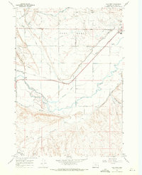
1967 · Vale West
USGS Topo · 1:24,000
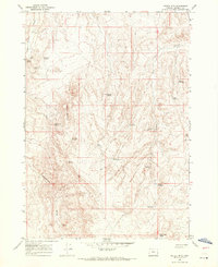
1967 · Double Mtn
USGS Topo · 1:24,000