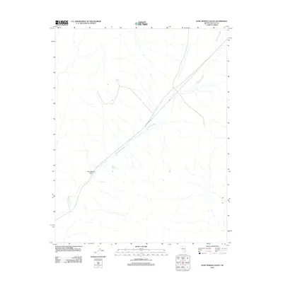
2012 Map of Kane Springs Valley
USGS Topo · Published 2012About this map
Kane Springs Valley is defined by its arid drainage patterns in this remote Lincoln County landscape. Central to the map is the long, diagonal path of Kane Springs Wash, which serves as the primary topographical spine for the area. This corridor is closely paralleled by Kane Springs Rd, illustrating how early transportation routes in the Great Basin were often dictated by the gradual slopes of natural washes.
Find a feature on this map
5 named features on this map. Tap any name to fly to it.
Don’t see what you’re looking for? This feature index may not catch every label — zoom into the map to look around manually.
Map Details
Editions of this 2012 Kane Springs Valley Map
This is the sole edition of this map. No revisions or reprints were ever made.
Other maps of this area

1885 · Pioche
USGS Topo · 1:250,000

1886 · Saint Thomas
USGS Topo · 1:250,000

1886 · Pioche
USGS Topo · 1:250,000

1893 · Saint Thomas
USGS Topo · 1:250,000

1954 · Caliente
USGS Topo · 1:250,000

1954 · Las Vegas
USGS Topo · 1:250,000

1957 · Las Vegas
USGS Topo · 1:250,000

1959 · Caliente
USGS Topo · 1:250,000

1959 · Las Vegas
USGS Topo · 1:250,000

1962 · Las Vegas
USGS Topo · 1:250,000