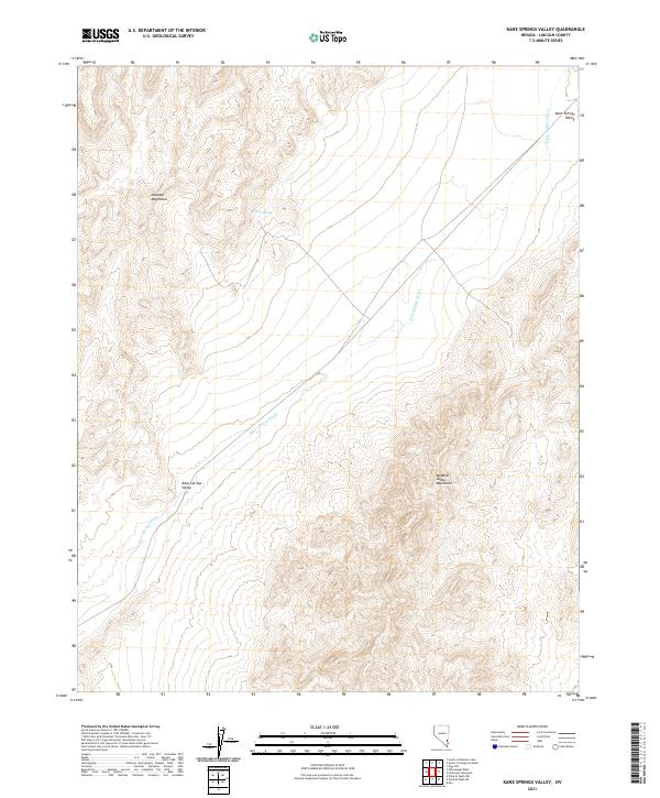
2021 Map of Kane Springs Valley
USGS Topo · Published 2021About this map
Kane Springs Valley serves as the central corridor of this modern topographic survey, flanked by the dramatic elevations of the Delamar Mountains to the west and the Meadow Valley Mountains to the east. This arid landscape in Lincoln County is defined by its drainages, notably Kane Springs Wash, which cuts diagonally across the basin. The presence of Willow Spring on the eastern slopes of the Delamar range provides a specific point of interest for researchers tracking historical water sources in the Great Basin. While contemporary in its mapping, the sheet preserves the essential topography and land divisions that have governed this desert region for generations, documenting the high-relief terrain and the fundamental hydrological patterns of the valley floor.
Find a feature on this map
14 named features on this map. Tap any name to fly to it.
Don’t see what you’re looking for? This feature index may not catch every label — zoom into the map to look around manually.
Map Details
Editions of this 2021 Kane Springs Valley Map
This is the sole edition of this map. No revisions or reprints were ever made.
Other maps of this area

1885 · Pioche
USGS Topo · 1:250,000

1886 · Saint Thomas
USGS Topo · 1:250,000

1886 · Pioche
USGS Topo · 1:250,000

1893 · Saint Thomas
USGS Topo · 1:250,000

1954 · Caliente
USGS Topo · 1:250,000

1954 · Las Vegas
USGS Topo · 1:250,000

1957 · Las Vegas
USGS Topo · 1:250,000

1959 · Caliente
USGS Topo · 1:250,000

1959 · Las Vegas
USGS Topo · 1:250,000

1962 · Las Vegas
USGS Topo · 1:250,000