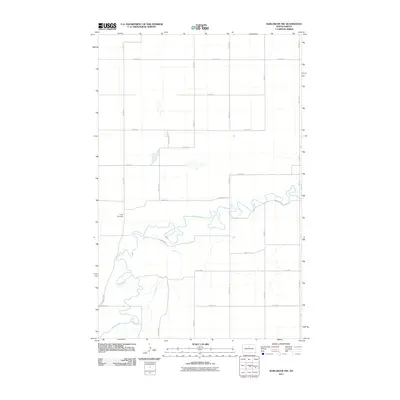
2011 Map of Karlsruhe NW
USGS Topo · Published 2011About this map
The Souris River meanders across this rural section of McHenry County, defining the landscape with its intricate oxbows and shifting banks. This area of North Dakota is characterized by a precise grid of section-line roads, such as 7th Ave N and 50th St N, which reflect the region's agricultural heritage and systematic land division. Near the western edge of the quadrangle, Trinity Cemetery sits as a quiet landmark for local genealogists and historians tracking early prairie settlers. The map details the proximity of the river to these transit routes, including River Dr N, showing how the natural waterway and human development co-exist in this quiet stretch of the northern plains.
Find a feature on this map
18 named features on this map. Tap any name to fly to it.
Don’t see what you’re looking for? This feature index may not catch every label — zoom into the map to look around manually.
Map Details
Editions of this 2011 Karlsruhe NW Map
This is the sole edition of this map. No revisions or reprints were ever made.
Other maps of this area

1948 · Voltaire
USGS Topo · 1:24,000

1948 · Velva
USGS Topo · 1:62,500

1949 · Simcoe
USGS Topo · 1:24,000

1949 · Voltaire
USGS Topo · 1:24,000

1949 · Riga
USGS Topo · 1:24,000

1949 · Karlsruhe NW
USGS Topo · 1:24,000

1949 · Granville
USGS Topo · 1:24,000

1949 · Denbigh
USGS Topo · 1:24,000

1950 · Karlsruhe NE
USGS Topo · 1:24,000

1950 · Denbigh
USGS Topo · 1:24,000