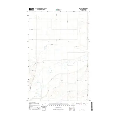
2014 Map of Karlsruhe NW
USGS Topo · Published 2014About this map
The Souris River meanders through this portion of McHenry County, carving a distinct valley through the agricultural landscape of North Dakota. In this rural stretch, the river is the primary natural landmark, framed by a grid of section roads including 50th St N and 57th St N. The terrain is defined by the contrast between the flat upland fields and the more varied topography immediately surrounding the riverbank.
Find a feature on this map
12 named features on this map. Tap any name to fly to it.
Don’t see what you’re looking for? This feature index may not catch every label — zoom into the map to look around manually.
Map Details
Editions of this 2014 Karlsruhe NW Map
This is the sole edition of this map. No revisions or reprints were ever made.
Other maps of this area

1948 · Voltaire
USGS Topo · 1:24,000

1948 · Velva
USGS Topo · 1:62,500

1949 · Simcoe
USGS Topo · 1:24,000

1949 · Voltaire
USGS Topo · 1:24,000

1949 · Riga
USGS Topo · 1:24,000

1949 · Karlsruhe NW
USGS Topo · 1:24,000

1949 · Granville
USGS Topo · 1:24,000

1949 · Denbigh
USGS Topo · 1:24,000

1950 · Karlsruhe NE
USGS Topo · 1:24,000

1950 · Denbigh
USGS Topo · 1:24,000