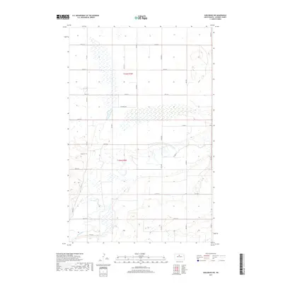
2017 Map of Karlsruhe NW
USGS Topo · Published 2017About this map
Souris River meanders across the southern half of this landscape, carving a distinct valley through the prairie of McHenry County. The geography is defined by a grid of rural section lines, including 50th St N and 57th St N, which organize the agricultural territory of townships t155n r78w and t154n r78w. A notable point of local history is Trinity Cem, situated on a topographic rise overlooking the river flats. The northern reaches are characterized by a series of wetlands and seasonal water bodies, typical of the pothole region, where roads like 7th Avenue NW provide the primary access through the open terrain. Modern infrastructure is represented by Souris Dr and 53 Pkwy N, which follow the contours of the river valley near the southern border.
Find a feature on this map
15 named features on this map. Tap any name to fly to it.
Don’t see what you’re looking for? This feature index may not catch every label — zoom into the map to look around manually.
Map Details
Editions of this 2017 Karlsruhe NW Map
This is the sole edition of this map. No revisions or reprints were ever made.
Other maps of this area

1948 · Voltaire
USGS Topo · 1:24,000

1948 · Velva
USGS Topo · 1:62,500

1949 · Simcoe
USGS Topo · 1:24,000

1949 · Voltaire
USGS Topo · 1:24,000

1949 · Riga
USGS Topo · 1:24,000

1949 · Karlsruhe NW
USGS Topo · 1:24,000

1949 · Granville
USGS Topo · 1:24,000

1949 · Denbigh
USGS Topo · 1:24,000

1950 · Karlsruhe NE
USGS Topo · 1:24,000

1950 · Denbigh
USGS Topo · 1:24,000