Loading...
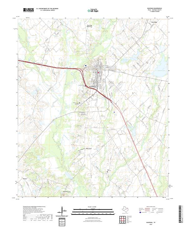
Loading map...2022 Map of Kaufman
USGS Topo · Published 2022About this map
The Kaufman County Courthouse serves as the central landmark for this Northeast Texas landscape, where the street grid of Kaufman transitions into a network of farm-to-market roads and county lanes. The area's history is preserved in its burial grounds, ranging from the Kaufman Cem north of town to the Kaufman Pioneer Cem and the poignant Kaufman County Poor Farm Graveyard situated to the southwest.
Find a feature on this map
111 named features on this map. Tap any name to fly to it.
Don’t see what you’re looking for? This feature index may not catch every label — zoom into the map to look around manually.
Map Details
Date Portrayed2022
Date Published2022
PublisherU.S. Geological Survey
Map TypeTopographic
Scale1:24000
Physical Dimensions24 x 29 inches
Editions of this 2022 Kaufman Map
This is the sole edition of this map. No revisions or reprints were ever made.
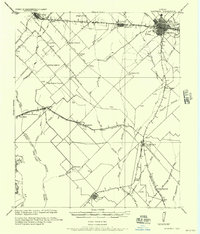
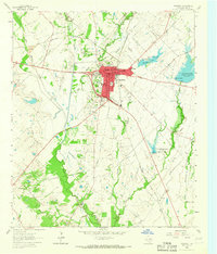
Historical Maps of Jiba Through Time
3 maps found
Featured Locations
Source Details
SourceU.S. Geological Survey
CopyrightPublic Domain