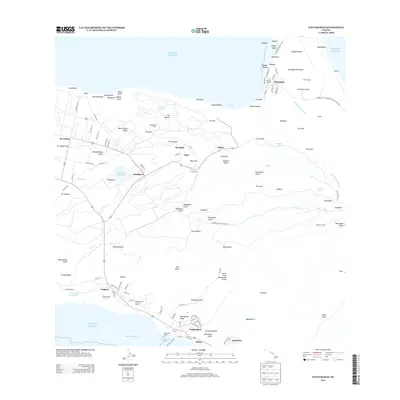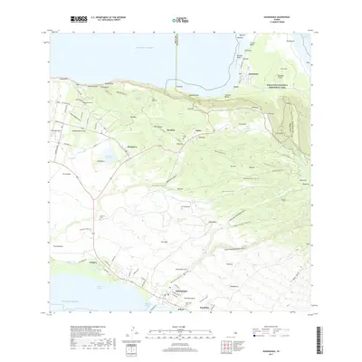
2024 Map of Kaunakakai
USGS Topo · Published 2024About this map
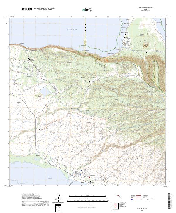
Kalaupapa Peninsula defines the northern coastline of this survey, separated from the rest of Molokai by steep cliffs and the Pali Trl. The geography of the peninsula is marked by the distinct Kauhakō Crater and significant historical sites within the Kalaupapa National Historical Park, including the Kalaupapa Settlement Cem and Papaloa Cem. To the south, the landscape descends from these heights toward the coastal town of Kaunakakai on the Kalohi Channel, where the Molokai District Courthouse and local streets like Ala Malama Ave serve as the hub of the community. In the central uplands, the agricultural and residential area around Kualapu‘u is flanked by several small burial grounds such as the Molokai Veterans Cem and Homelani Cem, illustrating the deep-rooted local history across the island's diverse elevations.
Find a feature on this map
116 named features on this map. Tap any name to fly to it.
Don’t see what you’re looking for? This feature index may not catch every label — zoom into the map to look around manually.
Map Details
Editions of this 2024 Kaunakakai Map
This is the sole edition of this map. No revisions or reprints were ever made.
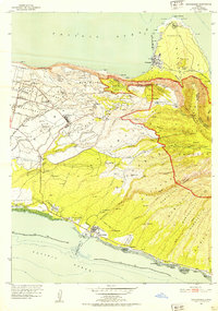
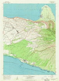
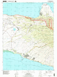
Historical Maps of Kaunakakai Through Time
6 maps found