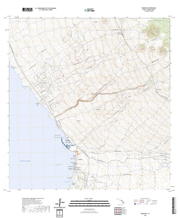
2024 Map of Kawaihae
USGS Topo · Published 2024About this map
Kawaihae serves as a critical coastal anchor on the northwest shore of the Island of Hawaii, where the dry leeward landscape meets the Pacific Ocean. This modern survey illustrates a coastal corridor defined by the proximity of significant cultural landmarks, notably the Pu'ukohola Heiau National Historic Site and the Kawaihae Mil Reserve. The geography is characterized by numerous dry gulches, such as Honokoa Gulch and Pohakuloa Gulch, which cut through the descent from the Kohala Mountains toward the sea.
Find a feature on this map
89 named features on this map. Tap any name to fly to it.
Don’t see what you’re looking for? This feature index may not catch every label — zoom into the map to look around manually.
Map Details
Editions of this 2024 Kawaihae Map
This is the sole edition of this map. No revisions or reprints were ever made.
Other maps of this area

1913 · Kohala
USGS Topo · 1:62,500

1916 · Kohala
USGS Topo · 1:62,500

1916 · Waipio
USGS Topo · 1:62,500

1928 · Puako
USGS Topo · 1:62,500

1954 · Hawaii North
USGS Topo · 1:250,000

1956 · Puu Hinai
USGS Topo · 1:24,000

1956 · Kamuela
USGS Topo · 1:24,000

1956 · Nohonaohae
USGS Topo · 1:24,000

1956 · Kawaihae
USGS Topo · 1:24,000
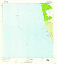
1957 · Keawanui Bay
USGS Topo · 1:24,000