
1948 Map of Kaylor Mountain
USGS Topo · Published 1955About this map
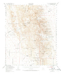
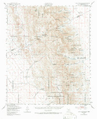
The San Andres National Wildlife Refuge and the White Sands Proving Ground dominate this mid-century terrain in Dona Ana and Socorro counties. This map records the intersection of ranching life and expanding military operations as the Cold War era reshaped the New Mexico desert. The landscape is dotted with essential water sources and specialized settlements, from the Anderegg Ranch Headquarters and Ritch Ranch to the Bruton Camp Headquarters. Physical landmarks like Kaylor Mountain and Gardner Peak tower over a series of rugged canyons, including Howinahell Canyon and Dead Man Canyon. Evidence of localized industry is visible at the Floorspar Mine and Talc Mine, while vital springs such as Lower Hembrillo Spring and Four Troughs Spring highlight the critical role of water in this arid environment.
Find a feature on this map
61 named features on this map. Tap any name to fly to it.
Don’t see what you’re looking for? This feature index may not catch every label — zoom into the map to look around manually.
Map Details
Editions of this 1948 Kaylor Mountain Map
3 editions found
Other maps of this area

1916 · Tonuco
USGS Topo · 1:125,000

1916 · Salinas Peak
USGS Topo · 1:125,000

1916 · Tularosa
USGS Topo · 1:125,000

1916 · Point Of Sands
USGS Topo · 1:125,000

1932 · Tonuco
USGS Topo · 1:125,000

1947 · Point Of Sands 2
USGS Topo · 1:62,500

1947 · Lake Lucero
USGS Topo · 1:62,500

1948 · Sowell
USGS Topo · 1:62,500

1948 · Chicken Well
USGS Topo · 1:62,500

1948 · Bear Peak
USGS Topo · 1:62,500