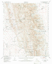
1948 Map of Kaylor Mountain
USGS Topo · Published 1987About this map
Kaylor Mountain and the surrounding San Andres Mountains dominate this 1948 landscape, which captures a critical transition period when historic New Mexico ranching land was being repurposed for military and scientific use. Scattered ranching outposts such as Anderegg Ranch Headquarters, Henderson Ranch, and Bruton Camp Headquarters represent the local-history footprint of the region just as the White Sands Proving Ground and the Alamogordo Bombing Range began to define the territory.
Find a feature on this map
51 named features on this map. Tap any name to fly to it.
Don’t see what you’re looking for? This feature index may not catch every label — zoom into the map to look around manually.
Map Details
Editions of this 1948 Kaylor Mountain Map
3 editions found

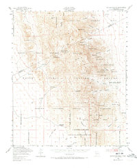
Other maps of this area

1916 · Tonuco
USGS Topo · 1:125,000

1916 · Salinas Peak
USGS Topo · 1:125,000

1916 · Tularosa
USGS Topo · 1:125,000

1916 · Point Of Sands
USGS Topo · 1:125,000

1932 · Tonuco
USGS Topo · 1:125,000

1947 · Point Of Sands 2
USGS Topo · 1:62,500

1947 · Lake Lucero
USGS Topo · 1:62,500

1948 · Sowell
USGS Topo · 1:62,500

1948 · Chicken Well
USGS Topo · 1:62,500

1948 · Bear Peak
USGS Topo · 1:62,500