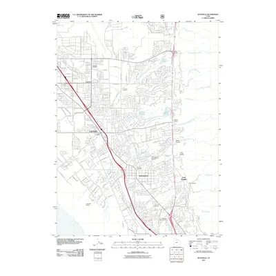
2011 Map of Kaysville
USGS Topo · Published 2011About this map
Layton and Kaysville define the urban corridor along the Wasatch Front on this 2011 survey, showing a landscape of rapid residential growth reaching toward the foothills of the Wasatch Range. The dense network of streets is anchored by central landmarks like the Layton Post Office and the Kaysville Post Office, while the Union Pacific Railroad tracks run parallel to the modern highway system.
Find a feature on this map
61 named features on this map. Tap any name to fly to it.
Don’t see what you’re looking for? This feature index may not catch every label — zoom into the map to look around manually.
Map Details
Editions of this 2011 Kaysville Map
This is the sole edition of this map. No revisions or reprints were ever made.
Other maps of this area

1885 · Salt Lake
USGS Topo · 1:250,000

1885 · Tooele Valley
USGS Topo · 1:250,000

1925 · Ft. Douglas
USGS Topo · 1:125,000

1928 · Ft. Douglas
USGS Topo · 1:125,000

1952 · Saltair NE
USGS Topo · 1:24,000

1952 · Farmington
USGS Topo · 1:24,000

1952 · Bountiful Peak
USGS Topo · 1:24,000

1953 · Tooele
USGS Topo · 1:250,000

1954 · Salt Lake City
USGS Topo · 1:250,000

1954 · Ogden
USGS Topo · 1:250,000