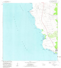
1982 Map of Keahole Point
USGS Topo · Published 1982About this map
The Lava Flow of 1801 dominates the northern landscape of this North Kona District coastline, where ancient Hawaiian landmarks meet modern infrastructure. Along the jagged shore of the Pacific Ocean, traditional sites like the Kaloko Fishpond and several heiaus—including Hale o Lono Heiau and Ahuena Heiau—point to the area's deep indigenous roots. These features sit in close proximity to the Keahole Airport and the Natural Energy Laboratory, illustrating a period of significant technological and utility expansion during the early 1980s.
Find a feature on this map
47 named features on this map. Tap any name to fly to it.
Don’t see what you’re looking for? This feature index may not catch every label — zoom into the map to look around manually.
Map Details
Editions of this 1982 Keahole Point Map
2 editions found
Other maps of this area

1928 · Puako
USGS Topo · 1:62,500

1928 · Kailua
USGS Topo · 1:62,500

1954 · Hawaii North
USGS Topo · 1:250,000

1959 · Hawaii North
USGS Topo · 1:250,000

1959 · Kiholo
USGS Topo · 1:24,000

1959 · Makalawena
USGS Topo · 1:24,000

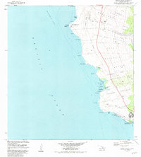
1959 · Keahole Point
USGS Topo · 1:24,000

1959 · Kailua
USGS Topo · 1:24,000
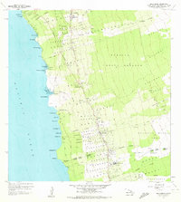
1960 · Kealakekua
USGS Topo · 1:24,000

1961 · Hawaii North
USGS Topo · 1:250,000