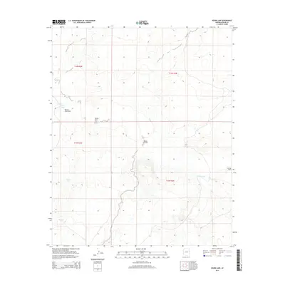
2014 Map of Kearn Lake
USGS Topo · Published 2014About this map
Kearn Lake sits at the northern edge of this high-altitude drainage basin in Apache County, where seasonal waterways define the arid landscape. The area is characterized by a series of shallow basins and ephemeral washes, including the namesake Kearn Lake, Boney Lake, and Big Lake. These natural depressions suggest a terrain that holds water briefly during the monsoon season, a critical feature for ranching and wildlife in the Arizona high desert.
Find a feature on this map
12 named features on this map. Tap any name to fly to it.
Don’t see what you’re looking for? This feature index may not catch every label — zoom into the map to look around manually.
Map Details
Editions of this 2014 Kearn Lake Map
This is the sole edition of this map. No revisions or reprints were ever made.
Other maps of this area

1886 · St Johns
USGS Topo · 1:250,000

1892 · St Johns
USGS Topo · 1:250,000

1954 · Saint Johns
USGS Topo · 1:250,000

1957 · Saint Johns
USGS Topo · 1:250,000

1958 · Saint Johns
USGS Topo · 1:250,000

1962 · Saint Johns
USGS Topo · 1:250,000

1971 · Mesa Parada NW
USGS Topo · 1:24,000

1971 · Mesa Parada
USGS Topo · 1:24,000
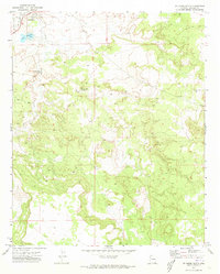
1971 · St. Johns South
USGS Topo · 1:24,000
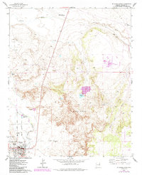
1974 · St. Johns North
USGS Topo · 1:24,000