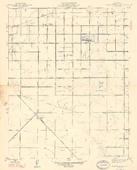
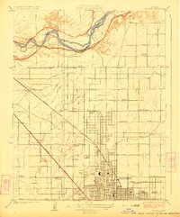
1947 Map of Kearney Park
USGS Topo · Published 1947About this map
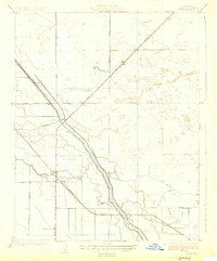
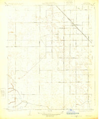
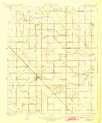
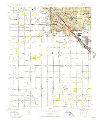
The agricultural landscape of Fresno County west of the city center is defined here by a meticulous grid of irrigation canals and early rail infrastructure. Settled along the Southern Pacific railroad line, the communities of Rolinda and Rolinda Sta serve as focal points for a region dominated by a complex water system, including the Houghton Canal and Little Houghton Canal. These arteries supported the transition of the San Joaquin Valley into a productive orchard and vineyard hub.
Find a feature on this map
55 named features on this map. Tap any name to fly to it.
Don’t see what you’re looking for? This feature index may not catch every label — zoom into the map to look around manually.
Map Details
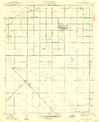
Editions of this 1947 Kearney Park Map
2 editions found
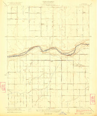
Other maps of this area

1921 · Bullard
USGS Topo · 1:31,680

1923 · Kearney Park
USGS Topo · 1:31,680

1923 · Herndon
USGS Topo · 1:31,680
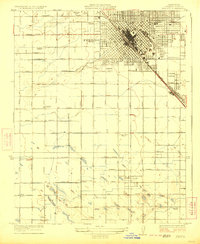
1923 · Fresno
USGS Topo · 1:31,680
1923 · Biola
USGS Topo · 1:31,680
1923 · Bullard
USGS Topo · 1:31,680
1925 · Helm
USGS Topo · 1:31,680
1925 · Raisin
USGS Topo · 1:31,680
1925 · Caruthers
USGS Topo · 1:31,680
1946 · Fresno South
USGS Topo · 1:24,000