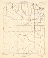
1925 Map of Raisin
USGS Topo · Published 1925About this map
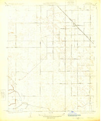
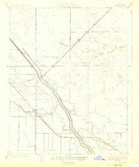
The settlement of Raisin stands as the primary hub of this 1920s Fresno County landscape, oriented around the diagonal route of the Southern Pacific railroad. The surrounding terrain is defined by a rigid grid of agricultural thoroughfares, including named routes like Manning Avenue, Dinuba Avenue, and Conejo Avenue. This pattern reflects the systematic development of the San Joaquin Valley’s raisin-growing districts, where transport and irrigation were paramount to the local economy. At the southern edge of the quadrangle, the Liberty Ditch provides a glimpse into the water management systems essential for viticulture in this arid environment. The map captures the area just as the rural road network reached full maturity, with long north-south connectors like Jamesan Avenue and Chateau Avenue linking scattered farmsteads to the rail siding at Raisin.
Find a feature on this map
26 named features on this map. Tap any name to fly to it.
Don’t see what you’re looking for? This feature index may not catch every label — zoom into the map to look around manually.
Map Details
Editions of this 1925 Raisin Map
2 editions found
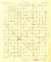
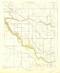
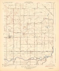
Other maps of this area

1912 · Coalinga
USGS Topo · 1:125,000

1923 · Kearney Park
USGS Topo · 1:31,680
1923 · Fresno
USGS Topo · 1:31,680
1924 · Riverdale
USGS Topo · 1:31,680
1925 · Helm
USGS Topo · 1:31,680
1925 · Caruthers
USGS Topo · 1:31,680
1927 · Burrel
USGS Topo · 1:31,680
1927 · Riverdale
USGS Topo · 1:31,680
1931 · Wheatville
USGS Topo · 1:31,680
1946 · Fresno South
USGS Topo · 1:24,000