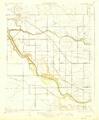
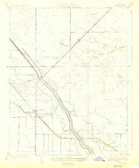
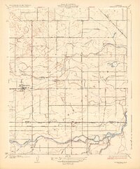
1927 Map of Burrel
USGS Topo · Published 1927About this map
Laguna De Tache land grant territory defines this portion of the San Joaquin Valley, where a sophisticated network of water management and rail transport supported early 20th-century agriculture. The meandering course of the Fresno Slough and Murphy Slough are countered by the rigid geometry of the Crescent Ditch and numerous irrigation channels that transformed this arid landscape. Small rural school districts, including Elkhorn School, Bender School, and Summit Lake School, are spaced at regular intervals, marking the dispersed nature of the farm-based population.
Find a feature on this map
32 named features on this map. Tap any name to fly to it.
Don’t see what you’re looking for? This feature index may not catch every label — zoom into the map to look around manually.
Map Details
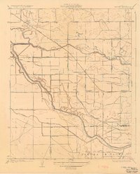
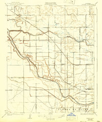
Editions of this 1927 Burrel Map
3 editions found
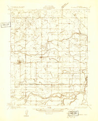
Other maps of this area

1912 · Coalinga
USGS Topo · 1:125,000
1924 · Riverdale
USGS Topo · 1:31,680
1925 · Helm
USGS Topo · 1:31,680
1925 · Raisin
USGS Topo · 1:31,680
1925 · Caruthers
USGS Topo · 1:31,680
1926 · Lethent
USGS Topo · 1:31,680
1927 · Riverdale
USGS Topo · 1:31,680
1927 · Lemoore
USGS Topo · 1:31,680
1931 · Wheatville
USGS Topo · 1:31,680
1932 · West of Lethent
USGS Topo · 1:31,680