
1926 Map of Lethent
USGS Topo · Published 1926About this map
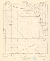
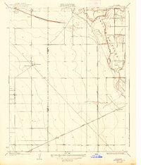
Laguna De Tache dominates the northeastern landscape of this mid-1920s survey, where the Kings River divides into the North Fork Kings River and Clarks Fork. The settlement of Lethent serves as a small rail-oriented hub along the Southern Pacific line, which cuts diagonally across the southern portion of the quadrangle. This era reflects a landscape transitioning through early industrial development and organized land management, evidenced by the presence of an Oil Pumping Sta and the surveyed Corporation Line. Education for the sparse rural population is anchored by the Lethent School and San Jose School. The map also clearly delineates the administrative boundary between Fresno Co Kings Co, providing a precise look at local jurisdiction during a period of agricultural and infrastructural expansion in the Central Valley.
Find a feature on this map
13 named features on this map. Tap any name to fly to it.
Don’t see what you’re looking for? This feature index may not catch every label — zoom into the map to look around manually.
Map Details
Editions of this 1926 Lethent Map
3 editions found
Other maps of this area

1912 · Coalinga
USGS Topo · 1:125,000

1924 · Riverdale
USGS Topo · 1:31,680

1927 · Burrel
USGS Topo · 1:31,680

1927 · Riverdale
USGS Topo · 1:31,680

1927 · Lemoore
USGS Topo · 1:31,680

1929 · Stratford
USGS Topo · 1:31,680

1929 · Westhaven
USGS Topo · 1:31,680

1931 · Wheatville
USGS Topo · 1:31,680

1932 · West of Lethent
USGS Topo · 1:31,680

1933 · Huron
USGS Topo · 1:31,680