
Loading...
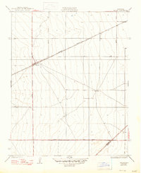
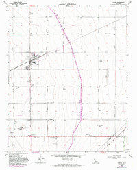
Loading map...1933 Map of Huron
USGS Topo · Published 1933About this map
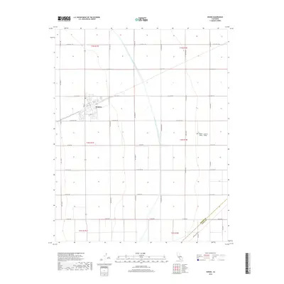
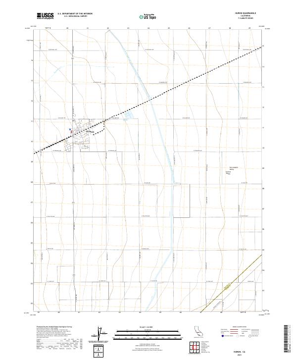
Huron serves as the focal point for this 1933 survey, situated at the junction of the Southern Pacific railroad and the San Joaquin Light and Power Corporation lines. The map reveals an engineered agricultural landscape defined by a rigid grid of transit corridors, including Siskiyou Avenue, Bishop Avenue, and Lassen Avenue. A small cluster of development near the Huron Tank indicates the town's role as a vital shipping point for the surrounding fields.
Find a feature on this map
10 named features on this map. Tap any name to fly to it.
Don’t see what you’re looking for? This feature index may not catch every label — zoom into the map to look around manually.
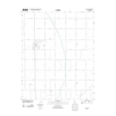
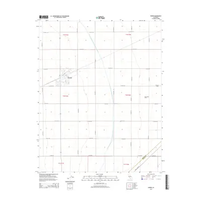
Map Details
Date Portrayed1933
Date Published1933
PublisherU.S. Geological Survey
Map TypeTopographic
Scale1:31,680
Physical Dimensions17 x 20.9 inches
Editions of this 1933 Huron Map
This is the sole edition of this map. No revisions or reprints were ever made.
Historical Maps of Huron Through Time
7 maps found
Featured Locations
Source Details
SourceU.S. Geological Survey
CopyrightPublic Domain