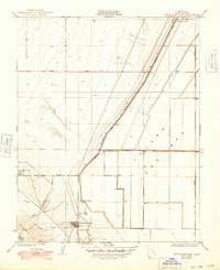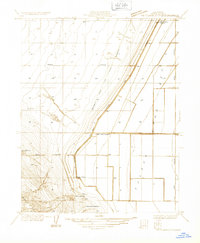
1933 Map of Kettleman City
USGS Topo · Published 1933About this map
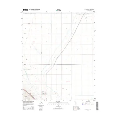
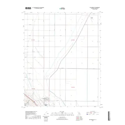
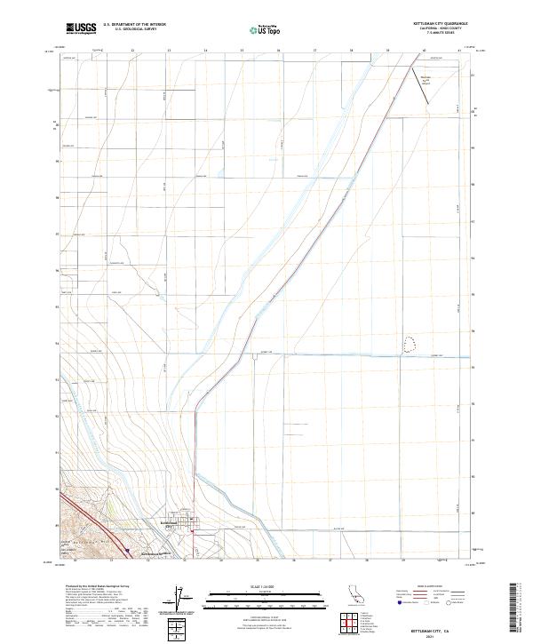
The Kettleman Hills rise sharply above the flat expanse of the Tulare Lake Bed, defining a landscape of rapid industrial expansion and early agricultural infrastructure. Surveyed in the early 1930s, this area centers on the nascent Kettleman City and the nearby Milham City, documenting a moment when oil exploration and large-scale ranching began to dominate the Kings County terrain. Dozens of oil wells dot the western slopes, while the eastern flats are carved by irrigation works like the Blakeley Canal and the holdings of the West Tulare Land Co.
Find a feature on this map
18 named features on this map. Tap any name to fly to it.
Don’t see what you’re looking for? This feature index may not catch every label — zoom into the map to look around manually.
Map Details
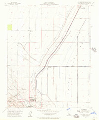
Editions of this 1933 Kettleman City Map
This is the sole edition of this map. No revisions or reprints were ever made.
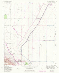
Historical Maps of Kettleman City Through Time
8 maps found