Loading...
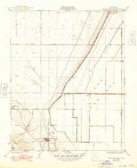
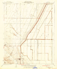
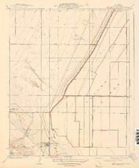
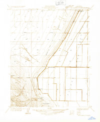
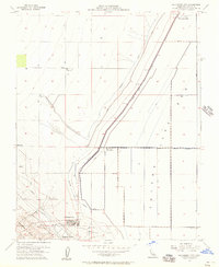
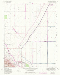
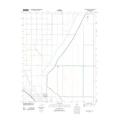
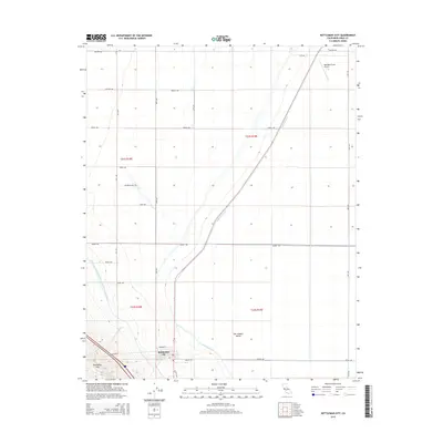
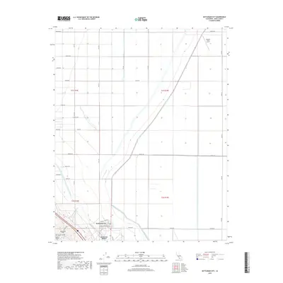
Loading map...1937 Map of Kettleman City
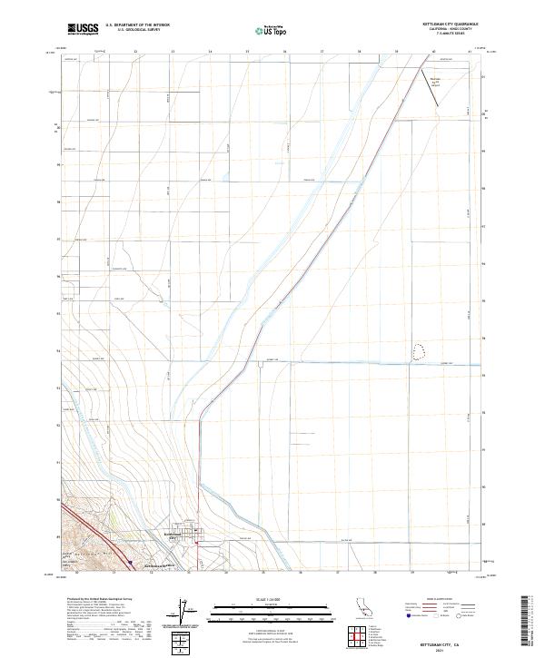
USGS Topo · Published 1948About this map
Kettleman City and the surrounding Kings County landscape appear here in the early 1930s, defined by the stark transition from the elevated Kettleman Hills to the flat expanse of the Tulare Lake Bed. This era of development is marked by an emerging network of water management and landholdings, with the Blakeley Canal and Paso Robles Canal cutting through the terrain. The map reveals the early footprint of Milham City and organized agricultural interests like the West Tulare Land Co.
Find a feature on this map
18 named features on this map. Tap any name to fly to it.
Don’t see what you’re looking for? This feature index may not catch every label — zoom into the map to look around manually.
Map Details
Date Portrayed1937
Date Published1948
PublisherU.S. Geological Survey
Map TypeTopographic
Scale1:31,680
Physical Dimensions16.9 x 20.7 inches
Editions of this 1937 Kettleman City Map
3 editions found
Historical Maps of Kettleman City Through Time
8 maps found
Featured Locations
Source Details
SourceU.S. Geological Survey
CopyrightPublic Domain