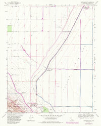
1963 Map of Kettleman City
USGS Topo · Published 1982About this map
Kettleman City sits at the edge of a massive agricultural and industrial landscape, where the dry expanse of the Tulare Lake Bed meets the rising terrain of the Kettleman Hills. This 1963 survey, with revisions updated through the early 1980s, reveals a highly managed environment defined by large-scale water engineering and energy infrastructure. The prominent Blakeley Canal and the California Aqueduct cut across the valley floor, essential for the operations at West Lake Farms and the West Tulare Lands Ranch. The presence of the Kettleman Hills Compressor Station, numerous wells, and a network of pipelines indicates the significant role of oil and gas extraction in this region. This map illustrates the transition from the flat, reclaimed lake bed to the dissected slopes of Degollada and Arroyo Robador, showing how utility corridors and systematic road naming, such as Quebec Ave and Quincy Ave, organized the San Joaquin Valley interior.
Find a feature on this map
27 named features on this map. Tap any name to fly to it.
Don’t see what you’re looking for? This feature index may not catch every label — zoom into the map to look around manually.
Map Details
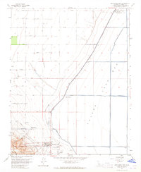
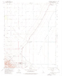
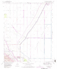
Editions of this 1963 Kettleman City Map
4 editions found
Other maps of this area

1912 · Coalinga
USGS Topo · 1:125,000

1914 · Lost Hills
USGS Topo · 1:125,000

1914 · Cholame
USGS Topo · 1:125,000

1915 · Cholame
USGS Topo · 1:125,000

1917 · Cholame
USGS Topo · 1:125,000

1929 · Stratford
USGS Topo · 1:31,680

1929 · Westhaven
USGS Topo · 1:31,680

1930 · Discovery Well
USGS Topo · 1:31,680

1930 · Kettleman Plain
USGS Topo · 1:31,680

1930 · Middle Dome
USGS Topo · 1:31,680