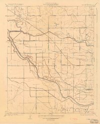
1927 Map of Burrel
USGS Topo · Published 1927About this map
Fresno Slough carves a winding path through this San Joaquin Valley landscape, defining the agricultural and transport corridor of the mid-1920s. Surveyed by C.P. McKinley and published in 1927, the map illustrates an era when irrigation and rail were the primary drivers of settlement. The Southern Pacific and the Atchison Topeka and Santa Fe railroads intersect near Lanare, anchoring a network of rural schools including Elkhorn School, Bender School, and Summit Lake School.
Find a feature on this map
33 named features on this map. Tap any name to fly to it.
Don’t see what you’re looking for? This feature index may not catch every label — zoom into the map to look around manually.
Map Details
Editions of this 1927 Burrel Map
3 editions found
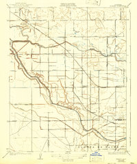
Other maps of this area

1912 · Coalinga
USGS Topo · 1:125,000

1924 · Riverdale
USGS Topo · 1:31,680

1925 · Helm
USGS Topo · 1:31,680

1925 · Raisin
USGS Topo · 1:31,680

1925 · Caruthers
USGS Topo · 1:31,680

1926 · Lethent
USGS Topo · 1:31,680

1927 · Burrel
USGS Topo · 1:31,680

1927 · Riverdale
USGS Topo · 1:31,680

1927 · Lemoore
USGS Topo · 1:31,680

1931 · Wheatville
USGS Topo · 1:31,680