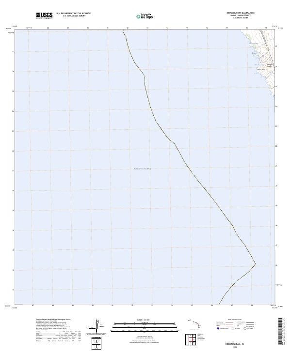
2024 Map of Keawanui Bay
USGS Topo · Published 2024About this map
The Kohala coastline of the Island of Hawai'i is documented in this modern survey, focusing on a series of secluded inlets and the primary transportation route connecting northern settlements. The Kawaihae-Mahukona Rd traces the elevated terrain above the shore, providing access to coastal landmarks like Malae Point. Most of the map area is dominated by the Pacific Ocean, emphasizing the importance of maritime geography along this stretch of the Big Island. The survey details several distinct coastal features, including Keawe'ula Bay, Keawanui Bay, and Wawaionu Bay, which are situated along the northwestern edge of the island. These names reflect the enduring traditional nomenclature of the region's natural harbors and points.
Find a feature on this map
7 named features on this map. Tap any name to fly to it.
Don’t see what you’re looking for? This feature index may not catch every label — zoom into the map to look around manually.
Map Details
Editions of this 2024 Keawanui Bay Map
This is the sole edition of this map. No revisions or reprints were ever made.
Other maps of this area

1913 · Kohala
USGS Topo · 1:62,500

1916 · Kohala
USGS Topo · 1:62,500

1928 · Puako
USGS Topo · 1:62,500

1954 · Hawaii North
USGS Topo · 1:250,000

1956 · Puu Hinai
USGS Topo · 1:24,000

1956 · Kawaihae
USGS Topo · 1:24,000
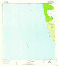
1957 · Keawanui Bay
USGS Topo · 1:24,000
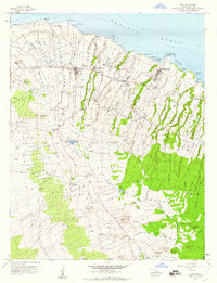
1957 · Hawi
USGS Topo · 1:24,000

1959 · Hawaii North
USGS Topo · 1:250,000
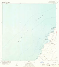
1959 · Anaehoomalu
USGS Topo · 1:24,000