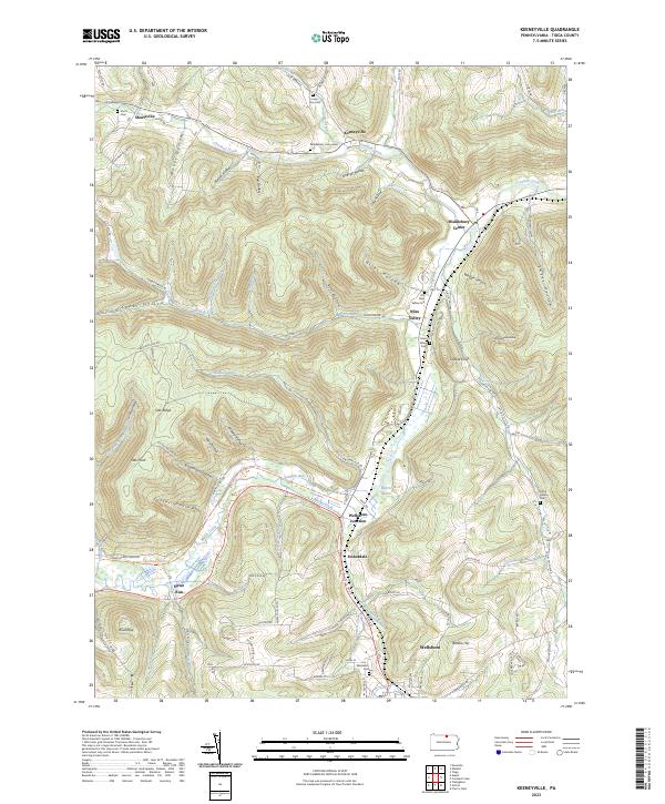
2023 Map of Keeneyville
USGS Topo · Published 2023About this map
Wellsboro Junction and the northern edge of Wellsboro anchor this map of central Tioga County, where the valley of Marsh Creek serves as a primary corridor for both road and rail history. The transition from industrial rail use to recreation is marked by the Pine Creek Rail Trl, which follows the winding watercourse through Stokesdale. This landscape is defined by its numerous family-named hollows and small rural settlements, reflecting a long history of timber and agricultural homesteading.
Find a feature on this map
108 named features on this map. Tap any name to fly to it.
Don’t see what you’re looking for? This feature index may not catch every label — zoom into the map to look around manually.
Map Details
Editions of this 2023 Keeneyville Map
This is the sole edition of this map. No revisions or reprints were ever made.
Other maps of this area

1900 · Tioga
USGS Topo · 1:62,500

1900 · Elkland
USGS Topo · 1:62,500

1902 · Tioga
USGS Topo · 1:62,500

1925 · Blossburg
USGS Topo · 1:62,500

1927 · Blossburg
USGS Topo · 1:62,500

1944 · Blossburg
USGS Topo · 1:62,500

1946 · Tiadaghton
USGS Topo · 1:24,000

1946 · Antrim
USGS Topo · 1:62,500

1946 · Antrim
USGS Topo · 1:24,000

1948 · Antrim
USGS Topo · 1:24,000
Featured Places
- Wellsboro, PA
- Chatham Township, PA
- Middlebury Township, PA
- Delmar Township, PA
- Christian Hill, Chatham Township