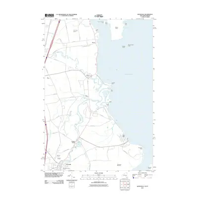
2011 Map of Keeseville
USGS Topo · Published 2011About this map
The Ausable River and its dramatic northern passage define the landscape of Clinton County in the early twenty-first century. Near the village of Keeseville, the river's path is marked by the geological wonders of Ausable Chasm, including the cataracts at Rainbow Falls and Alice Falls. These water features transition into a complex delta at the Lake Champlain shoreline, where the river meets the lake at the Upper Mouth and Lower Mouth near Ausable Point.
Find a feature on this map
61 named features on this map. Tap any name to fly to it.
Don’t see what you’re looking for? This feature index may not catch every label — zoom into the map to look around manually.
Map Details
Editions of this 2011 Keeseville Map
This is the sole edition of this map. No revisions or reprints were ever made.
Other maps of this area

1894 · Plattsburg
USGS Topo · 1:62,500

1895 · Willsboro
USGS Topo · 1:62,500

1895 · Ausable
USGS Topo · 1:62,500

1903 · Ausable
USGS Topo · 1:62,500

1906 · Plattsburg
USGS Topo · 1:62,500

1913 · Dannemora
USGS Topo · 1:62,500

1939 · Plattsburg
USGS Topo · 1:62,500

1941 · Plattsburg
USGS Topo · 1:62,500

1941 · Willsboro
USGS Topo · 1:62,500

1943 · Willsboro
USGS Topo · 1:62,500