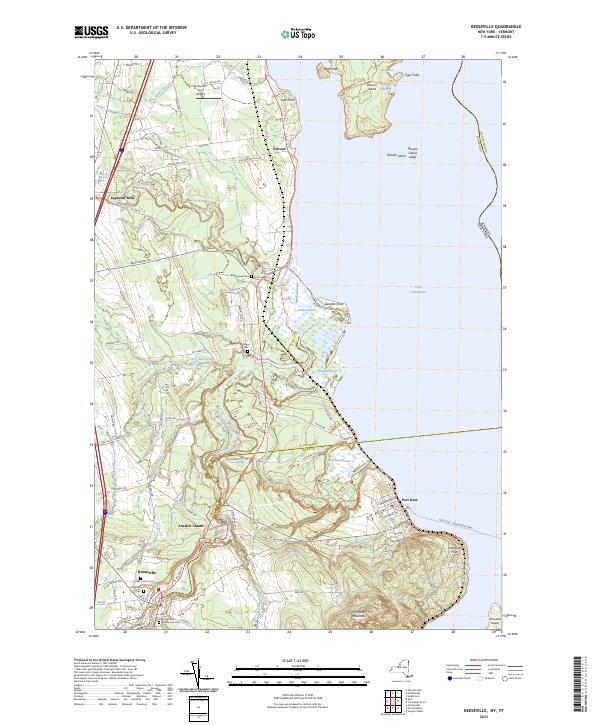
2023 Map of Keeseville
USGS Topo · Published 2023About this map
Keeseville sits at the southwestern edge of this survey, where the Ausable River carves through the famous Ausable Chasm. The landscape is defined by the river's descent toward Lake Champlain, passing landmarks like Rainbow Falls and Alice Falls before reaching the marshy delta near Ausable Point. To the east, the shoreline at Port Kent provides a gateway to the lake, while the waters are dotted with significant landmasses including Valcour Island, known for its strategic position, and the smaller Schuyler Island.
Find a feature on this map
84 named features on this map. Tap any name to fly to it.
Don’t see what you’re looking for? This feature index may not catch every label — zoom into the map to look around manually.
Map Details
Editions of this 2023 Keeseville Map
This is the sole edition of this map. No revisions or reprints were ever made.
Other maps of this area

1894 · Plattsburg
USGS Topo · 1:62,500

1895 · Willsboro
USGS Topo · 1:62,500

1895 · Ausable
USGS Topo · 1:62,500

1903 · Ausable
USGS Topo · 1:62,500

1906 · Plattsburg
USGS Topo · 1:62,500

1913 · Dannemora
USGS Topo · 1:62,500

1939 · Plattsburg
USGS Topo · 1:62,500

1941 · Plattsburg
USGS Topo · 1:62,500

1941 · Willsboro
USGS Topo · 1:62,500

1943 · Willsboro
USGS Topo · 1:62,500