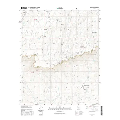
2014 Map of Kehl Ridge
USGS Topo · Published 2014About this map
Mogollon Rim serves as the dramatic topographical boundary on this 2014 survey, dividing the Coconino National Forest to the north from the Tonto National Forest below. The map documents the high-altitude transition from the Mogollon Plateau down into the canyon systems of the East Verde River headwaters. Local residential clusters like Washington Park and Verde Glen are situated in the lower elevations, surrounded by a complex network of seasonal water sources such as Pieper Hatchery Spring and Geronimo Spring. The landscape is defined by its verticality, with named features like Kehl Ridge and Blazed Ridge overlooking deep cuts like Middle Kehl Canyon. Significant recreational and logistical infrastructure is present, including the Arizona National Scenic Trail winding through the terrain and the unusual landmark known as The Tunnel near Washington Spring.
Find a feature on this map
80 named features on this map. Tap any name to fly to it.
Don’t see what you’re looking for? This feature index may not catch every label — zoom into the map to look around manually.
Map Details
Editions of this 2014 Kehl Ridge Map
This is the sole edition of this map. No revisions or reprints were ever made.
Other maps of this area

1887 · Verde
USGS Topo · 1:250,000

1892 · Verde
USGS Topo · 1:250,000

1934 · Pine
USGS Topo · 1:62,500

1934 · Promontory Butte
USGS Topo · 1:62,500

1939 · Promontory Butte
USGS Topo · 1:62,500

1940 · Pine
USGS Topo · 1:62,500

1952 · Pine
USGS Topo · 1:62,500

1952 · Promontory Butte
USGS Topo · 1:62,500

1954 · Holbrook
USGS Topo · 1:250,000

1957 · Holbrook
USGS Topo · 1:250,000
Featured Places
- Washington Park, AZ
- Rim Trail Mountain Club Estates, AZ
- Verde Glen, AZ
- Coconino County, AZ
- Gila County, AZ