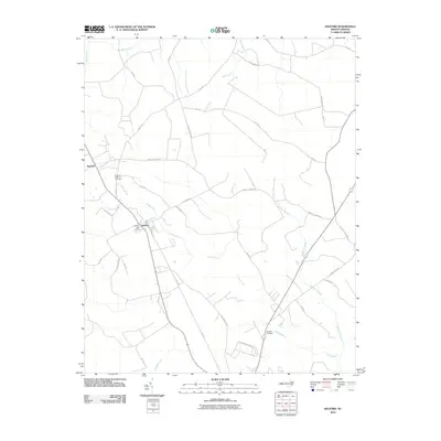
2010 Map of Kelford
USGS Topo · Published 2010About this map
Roxobel and Kelford anchor this rural North Carolina landscape, where the agricultural and social life of the region is centered along the headwaters of the Cashie River. The spatial arrangement of the towns reflects a long history of rail and road commerce, evidenced by the prominent Harrells Siding Rd and 72 Siding Rd, which hint at the importance of former rail sidings for timber or agricultural transport. For genealogists, the map identifies specific community landmarks such as the Roxobel-Kelford Cemetery, the centrally located Kelford Post Office, and the more remote Hoggard Cemetery to the southeast. The terrain is defined by low-lying wetlands and drainage networks, including Wahtom Swamp and Flag Run Gut, which illustrate the hydrological complexity of the inner coastal plain before these waters eventually join the Ahoskie Creek system to the north.
Find a feature on this map
36 named features on this map. Tap any name to fly to it.
Don’t see what you’re looking for? This feature index may not catch every label — zoom into the map to look around manually.
Map Details
Editions of this 2010 Kelford Map
This is the sole edition of this map. No revisions or reprints were ever made.
Other maps of this area

1953 · Norfolk
USGS Topo · 1:250,000

1962 · Palmyra
USGS Topo · 1:24,000

1962 · Norfleet
USGS Topo · 1:24,000

1972 · Republican
USGS Topo · 1:24,000

1972 · Woodville
USGS Topo · 1:24,000

1972 · Aulander
USGS Topo · 1:24,000

1973 · Kelford
USGS Topo · 1:24,000

1974 · Rich Square
USGS Topo · 1:24,000

1977 · Union
USGS Topo · 1:24,000

1977 · Woodland
USGS Topo · 1:24,000