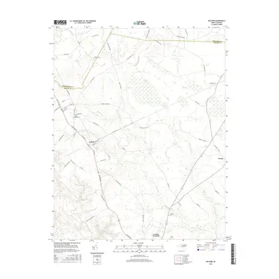
2016 Map of Kelford
USGS Topo · Published 2016About this map
Kelford and Lewiston Woodville anchor this 2016 survey of the North Carolina Inner Banks region, where the Cashie River and Wahtom Swamp weave through a landscape of timberlands and rural homesteads. The terrain is defined by the Wahtom Pocosin, a distinct wetland environment typical of the Atlantic coastal plain. Local transport follows long-established corridors such as Railroad Ln and Harrells Siding Rd, reflecting the area's agricultural and industrial history.
Find a feature on this map
57 named features on this map. Tap any name to fly to it.
Don’t see what you’re looking for? This feature index may not catch every label — zoom into the map to look around manually.
Map Details
Editions of this 2016 Kelford Map
This is the sole edition of this map. No revisions or reprints were ever made.
Other maps of this area

1953 · Norfolk
USGS Topo · 1:250,000

1962 · Palmyra
USGS Topo · 1:24,000

1962 · Norfleet
USGS Topo · 1:24,000

1972 · Republican
USGS Topo · 1:24,000

1972 · Woodville
USGS Topo · 1:24,000

1972 · Aulander
USGS Topo · 1:24,000

1973 · Kelford
USGS Topo · 1:24,000

1974 · Rich Square
USGS Topo · 1:24,000

1977 · Union
USGS Topo · 1:24,000

1977 · Woodland
USGS Topo · 1:24,000