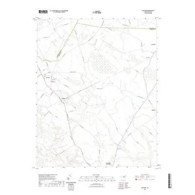
2021 Map of Kelford
USGS Topo · Published 2021About this map
Roxobel and Kelford stand as the primary hubs in this corner of North Carolina, reflecting a landscape defined by its timber and agricultural heritage. The terrain is characterized by the complex hydrology of the Inner Coastal Plain, where the headwaters of the Cashie River emerge from thickets like Wahtom Pocosin. Numerous family-named roads and routes, such as Horace Vick Rd and Tyler School Rd, suggest the long-standing community structure of Bertie and Northampton counties.
Find a feature on this map
58 named features on this map. Tap any name to fly to it.
Don’t see what you’re looking for? This feature index may not catch every label — zoom into the map to look around manually.
Map Details
Editions of this 2021 Kelford Map
This is the sole edition of this map. No revisions or reprints were ever made.
Other maps of this area

1953 · Norfolk
USGS Topo · 1:250,000

1962 · Palmyra
USGS Topo · 1:24,000

1962 · Norfleet
USGS Topo · 1:24,000

1972 · Republican
USGS Topo · 1:24,000

1972 · Woodville
USGS Topo · 1:24,000

1972 · Aulander
USGS Topo · 1:24,000

1973 · Kelford
USGS Topo · 1:24,000

1974 · Rich Square
USGS Topo · 1:24,000

1977 · Union
USGS Topo · 1:24,000

1977 · Woodland
USGS Topo · 1:24,000