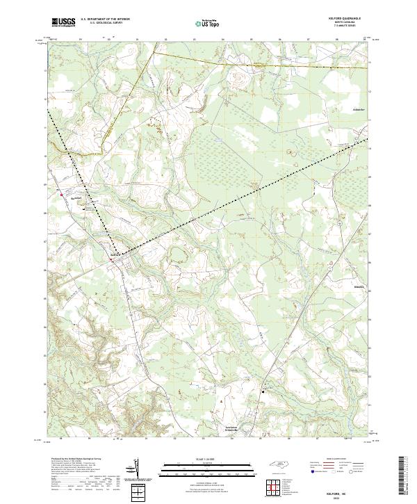
2022 Map of Kelford
USGS Topo · Published 2022About this map
The Kelford and Roxobel communities sit at the heart of this coastal plain survey, situated in a landscape defined by the winding course of the Cashie River and its various tributaries like Sandy Run and Ahoskie Cr. This region of Bertie County is characterized by its agricultural corridors and scattered wetlands, most notably the Walton Pecosin, a distinctive evergreen shrub bog typical of the North Carolina tidewater. The road network reflects a history of rural connectivity, with routes such as Harrells Siding Rd and Tyler School Rd linking various homesteads and local hubs. Genealogists will find particular value in the documentation of the Roxobel - Kelford Cem and Hoggard Cem, providing specific points for ancestral research. The map also captures the settlement at Lewiston Woodville and the edges of Aulander, illustrating the proximity of these historically significant North Carolina towns.
Find a feature on this map
60 named features on this map. Tap any name to fly to it.
Don’t see what you’re looking for? This feature index may not catch every label — zoom into the map to look around manually.
Map Details
Editions of this 2022 Kelford Map
This is the sole edition of this map. No revisions or reprints were ever made.
Other maps of this area

1953 · Norfolk
USGS Topo · 1:250,000

1962 · Palmyra
USGS Topo · 1:24,000

1962 · Norfleet
USGS Topo · 1:24,000

1972 · Republican
USGS Topo · 1:24,000

1972 · Woodville
USGS Topo · 1:24,000

1972 · Aulander
USGS Topo · 1:24,000

1973 · Kelford
USGS Topo · 1:24,000

1974 · Rich Square
USGS Topo · 1:24,000

1977 · Union
USGS Topo · 1:24,000

1977 · Woodland
USGS Topo · 1:24,000