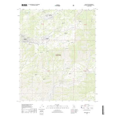
2018 Map of Keller Peak
USGS Topo · Published 2018About this map
Running Springs and its neighboring mountain communities sit high in the San Bernardino Mountains during the late 2010s. This survey records the distinct spatial organization of high-altitude settlements like Green Valley Lake and Arrowbear Lake, where residential streets such as Luring Pines and Falling Leaf Dr are woven into the terrain of the San Bernardino National Forest. The landscape is defined by its complex hydrology, with the Santa Ana River emerging in the south and the Deep Cr drainage system carving the northern slopes.
Find a feature on this map
75 named features on this map. Tap any name to fly to it.
Don’t see what you’re looking for? This feature index may not catch every label — zoom into the map to look around manually.
Map Details
Editions of this 2018 Keller Peak Map
This is the sole edition of this map. No revisions or reprints were ever made.
Other maps of this area

1899 · Redlands
USGS Topo · 1:62,500

1901 · Southern California Sheet No. 1
USGS Topo · 1:250,000

1901 · Redlands
USGS Topo · 1:62,500

1902 · Deep Creek
USGS Topo · 1:62,500

1902 · San Gorgonio
USGS Topo · 1:125,000

1904 · Southern California Sheet No. 1
USGS Topo · 1:250,000

1947 · Lucerne Valley
USGS Topo · 1:62,500

1949 · Lucerne Valley
USGS Topo · 1:62,500

1953 · San Bernardino
USGS Topo · 1:250,000
1953 · Harrison Mtn.
USGS Topo · 1:24,000