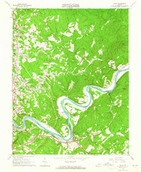
1963 Map of Kelly
USGS Topo · Published 1965About this map
The James River carves a dramatic oxbow around Mount Athos in this mid-century survey of the rugged border between Amherst and Campbell Counties. The landscape is defined by its industrial and social infrastructure, featuring the sprawling grounds of the Lynchburg Training School and Hospital near Colony and the active rail corridors of the Norfolk and Western Railway and the Chesapeake and Ohio Railway. Settlement patterns are concentrated along the western edge in Madison Heights, while the eastern reaches remain characterized by family-named landmarks and water-powered history, such as Brightwell Mill and Gaits Mill. Numerous small family burial grounds, including the Megginson Cem, Scott Cem, and Grace Cem, are preserved in the terrain, offering significant value for genealogical research. The river itself is dotted with unique features like Buzzard Islands and Feagans Island, which shaped the early navigation and economy of the region.
Find a feature on this map
69 named features on this map. Tap any name to fly to it.
Don’t see what you’re looking for? This feature index may not catch every label — zoom into the map to look around manually.
Map Details
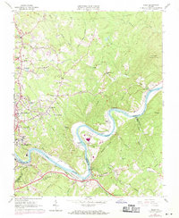
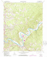
Editions of this 1963 Kelly Map
3 editions found
Other maps of this area

1892 · Lynchburg
USGS Topo · 1:125,000

1892 · Buckingham
USGS Topo · 1:125,000

1892 · Appomattox
USGS Topo · 1:125,000

1894 · Lexington
USGS Topo · 1:125,000

1935 · Amherst
USGS Topo · 1:48,000

1939 · Amherst
USGS Topo · 1:62,500

1944 · Lynchburg
USGS Topo · 1:62,500

1947 · Roanoke
USGS Topo · 1:250,000

1950 · Amherst
USGS Topo · 1:62,500

1950 · Lynchburg
USGS Topo · 1:62,500