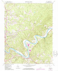
1963 Map of Kelly
USGS Topo · Published 1986About this map
The James River carves a dramatic oxbow through the heart of this landscape, separating Amherst County from Campbell County. Along its banks, the industrial and transport history of the region is evident in the parallel paths of the Chesapeake and Ohio and Norfolk and Western railroads. Smaller rural centers like Wright Shop and Amelon contrast with the growing suburban character of Madison Heights, where a Drive-in Theater and Randolph Mem Sch reflect mid-century community life.
Find a feature on this map
61 named features on this map. Tap any name to fly to it.
Don’t see what you’re looking for? This feature index may not catch every label — zoom into the map to look around manually.
Map Details
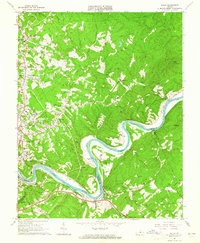
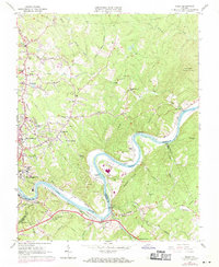
Editions of this 1963 Kelly Map
3 editions found
Other maps of this area

1892 · Lynchburg
USGS Topo · 1:125,000

1892 · Buckingham
USGS Topo · 1:125,000

1892 · Appomattox
USGS Topo · 1:125,000

1894 · Lexington
USGS Topo · 1:125,000

1935 · Amherst
USGS Topo · 1:48,000

1939 · Amherst
USGS Topo · 1:62,500

1944 · Lynchburg
USGS Topo · 1:62,500

1947 · Roanoke
USGS Topo · 1:250,000

1950 · Amherst
USGS Topo · 1:62,500

1950 · Lynchburg
USGS Topo · 1:62,500