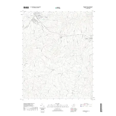
2019 Map of Kenbridge West
USGS Topo · Published 2019About this map
The town of Victoria and the western edge of Kenbridge anchor this portion of Lunenburg County, showcasing the inland rail and road corridors of southern Virginia. The map details a landscape transition from the dense street grids of Victoria, with its historic cemetery sites like Lakeview Cem and Oakwood Cem, to the rural agricultural lands near Oral Oaks. Local water features such as Lunenburg Beach Reservoir and the headwaters of Big Hounds Cr and Flat Rock Cr define the drainage patterns of the region. The map also traces the importance of local transportation and infrastructure, from the small Lunenburg County Airport to the numerous creeks like Reedy Cr and Mason Cr that traverse the rolling terrain between these primary settlements.
Find a feature on this map
93 named features on this map. Tap any name to fly to it.
Don’t see what you’re looking for? This feature index may not catch every label — zoom into the map to look around manually.
Map Details
Editions of this 2019 Kenbridge West Map
This is the sole edition of this map. No revisions or reprints were ever made.
Other maps of this area

1891 · Farmville
USGS Topo · 1:125,000

1893 · Farmville
USGS Topo · 1:125,000

1947 · Roanoke
USGS Topo · 1:250,000

1953 · Greensboro
USGS Topo · 1:250,000

1954 · Greensboro
USGS Topo · 1:250,000

1955 · Chase City
USGS Topo · 1:62,500

1955 · Kenbridge
USGS Topo · 1:62,500

1958 · Crewe
USGS Topo · 1:62,500

1958 · Keysville
USGS Topo · 1:62,500

1959 · Roanoke
USGS Topo · 1:250,000