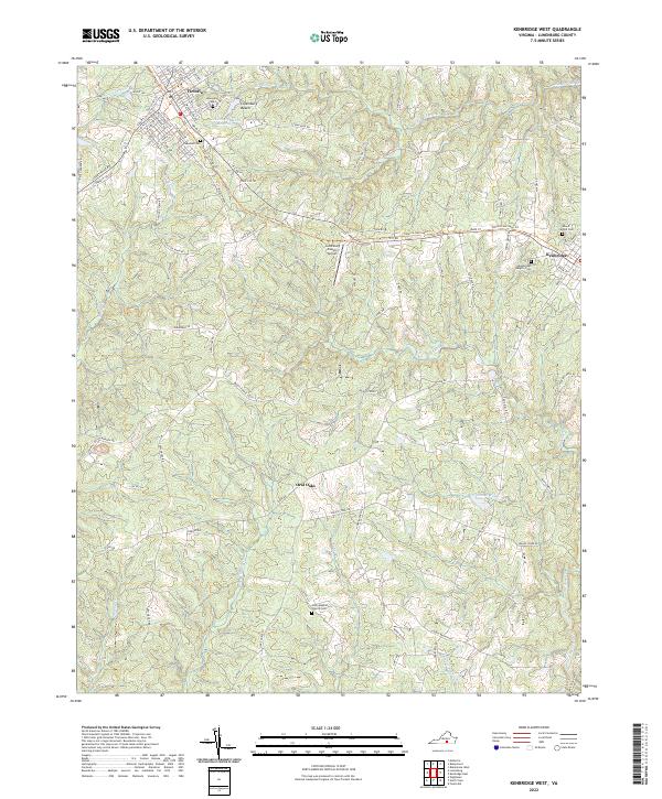
2022 Map of Kenbridge West
USGS Topo · Published 2022About this map
Victoria and Kenbridge anchor the northern and eastern portions of this central Virginia landscape, connected by a network of rural routes that traverse a terrain defined by the headwaters of numerous small creeks. The town of Victoria shows a defined grid of streets including Main St, Mecklenburg Ave, and Tidewater Ave, with Oakwood Cem situated near the town's southern edge. Further east, the Lunenburg County Airport sits isolated among the timber and fields, while the settlement of Oral Oaks serves as a small crossroads to the south.
Find a feature on this map
94 named features on this map. Tap any name to fly to it.
Don’t see what you’re looking for? This feature index may not catch every label — zoom into the map to look around manually.
Map Details
Editions of this 2022 Kenbridge West Map
This is the sole edition of this map. No revisions or reprints were ever made.
Other maps of this area

1891 · Farmville
USGS Topo · 1:125,000

1893 · Farmville
USGS Topo · 1:125,000

1947 · Roanoke
USGS Topo · 1:250,000

1953 · Greensboro
USGS Topo · 1:250,000

1954 · Greensboro
USGS Topo · 1:250,000

1955 · Chase City
USGS Topo · 1:62,500

1955 · Kenbridge
USGS Topo · 1:62,500

1958 · Crewe
USGS Topo · 1:62,500

1958 · Keysville
USGS Topo · 1:62,500

1959 · Roanoke
USGS Topo · 1:250,000