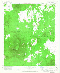
1966 Map of Kendrick Peak
USGS Topo · Published 1968About this map
Kendrick Peak dominates this high-altitude landscape of northern Arizona, serving as a boundary point between the Kaibab National Forest and Coconino National Forest. The 1960s terrain is defined by volcanic features and high-country meadows, where a Lookout Tower crowns the peak to monitor the surrounding timberlands. Numerous water sources such as Kendrick Spring, Slate Well, and Lava Tank are scattered across the quadrangle, illustrating the vital infrastructure required for forest management and livestock in this arid yet elevated environment. Broad openings like Kendrick Park and Crowley Park interrupt the dense forest cover, while more isolated features like Crater Lake and Horseshoe Hill provide distinct navigational landmarks. The map also records early aviation and industrial presence through a Landing Strip near the park and several Cinder Pit locations used for local materials.
Find a feature on this map
35 named features on this map. Tap any name to fly to it.
Don’t see what you’re looking for? This feature index may not catch every label — zoom into the map to look around manually.
Map Details
Editions of this 1966 Kendrick Peak Map
2 editions found
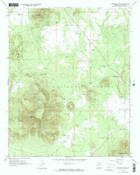
Other maps of this area

1886 · San Francisco Mtns
USGS Topo · 1:250,000

1891 · San Francisco Mtns
USGS Topo · 1:250,000

1894 · San Francisco Mtns
USGS Topo · 1:250,000

1899 · San Francisco Mtns
USGS Topo · 1:250,000

1908 · Flagstaff
USGS Topo · 1:125,000

1912 · Flagstaff
USGS Topo · 1:125,000

1947 · Flagstaff
USGS Topo · 1:250,000

1954 · Flagstaff
USGS Topo · 1:250,000

1958 · Flagstaff
USGS Topo · 1:250,000

1960 · Flagstaff
USGS Topo · 1:250,000