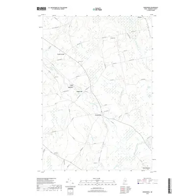
2018 Map of Kenduskeag
USGS Topo · Published 2018About this map
Kenduskeag Stream anchors this mid-Maine landscape, flowing through a series of small rural communities that define the region's historical character. The map showcases a traditional New England settlement pattern, where small clusters of homes and farms like South Corinth, Higginsville, and Robyville are connected by a network of local roads including White Schoolhouse Rd and Rabbit Path. This area, situated between the highland of Hudson Hill and the wetlands of Halfmoon Meadow, has long balanced agricultural use with the natural drainage of Pushaw Stream and Black Stream.
Find a feature on this map
60 named features on this map. Tap any name to fly to it.
Don’t see what you’re looking for? This feature index may not catch every label — zoom into the map to look around manually.
Map Details
Editions of this 2018 Kenduskeag Map
This is the sole edition of this map. No revisions or reprints were ever made.
Other maps of this area

1902 · Bangor
USGS Topo · 1:62,500

1931 · Stetson
USGS Topo · 1:48,000

1932 · Dover-Foxcroft
USGS Topo · 1:48,000

1933 · Boyd Lake
USGS Topo · 1:62,500

1935 · Dover-Foxcroft
USGS Topo · 1:62,500

1935 · Stetson
USGS Topo · 1:62,500

1942 · Bangor
USGS Topo · 1:62,500

1946 · Bangor
USGS Topo · 1:62,500

1948 · Bangor
USGS Topo · 1:250,000

1951 · Boyd Lake
USGS Topo · 1:50,000