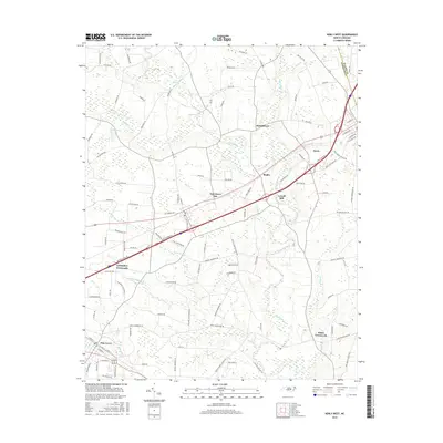
2016 Map of Kenly West
USGS Topo · Published 2016About this map
Pine Level sits at the southwestern edge of this coastal plain landscape, where a grid of local roads like W Main St and E Pine St serves the local community. To the northeast, the town of Kenly marks a significant population center near the junction of Johnston and Wilson counties. The drainage of the Little River dominates the central terrain, fed by numerous tributaries including Buffalo Cr and Big Br.
Find a feature on this map
108 named features on this map. Tap any name to fly to it.
Don’t see what you’re looking for? This feature index may not catch every label — zoom into the map to look around manually.
Map Details
Editions of this 2016 Kenly West Map
This is the sole edition of this map. No revisions or reprints were ever made.
Other maps of this area

1902 · Kenly
USGS Topo · 1:62,500

1903 · Kenly
USGS Topo · 1:62,500

1906 · Four Oaks
USGS Topo · 1:48,000

1908 · Four Oaks
USGS Topo · 1:62,500

1953 · Raleigh
USGS Topo · 1:250,000

1954 · Raleigh
USGS Topo · 1:250,000

1964 · Flowers
USGS Topo · 1:24,000

1964 · Selma
USGS Topo · 1:62,500

1964 · Selma
USGS Topo · 1:24,000

1974 · Northwest Goldsboro
USGS Topo · 1:24,000