
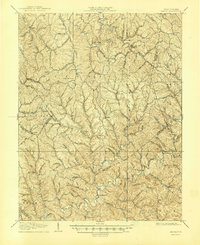
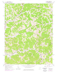
1906 Map of Kenna
USGS Topo · Published 1959About this map
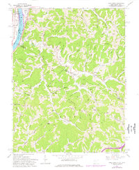
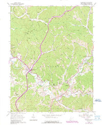
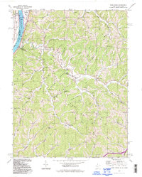
Sissonville sits along the winding course of the Pocatalico River in this early twentieth-century survey of the West Virginia backcountry. The landscape is defined by a dense network of ridges and hollows, including Garnes Knob and Red Knob, which dictated the early settlement patterns of Jackson, Kanawha, and Roane counties. Rural life is anchored by small communities such as Kenna, Goldtown, and Staats Mills, each connected by primitive roads following the narrow valleys of Mill Creek and Tug Fork. The map provides a detailed view of local infrastructure before major modern development, noting the Emma Belle School and White Chapel as central landmarks for the surrounding homesteads. This topographic study captures the era when commerce and community were still deeply tied to the drainage systems of the Allen Fork and Haines Fork.
Find a feature on this map
59 named features on this map. Tap any name to fly to it.
Don’t see what you’re looking for? This feature index may not catch every label — zoom into the map to look around manually.
Map Details
Editions of this 1906 Kenna Map
This is the sole edition of this map. No revisions or reprints were ever made.
Historical Maps of Emma Through Time
15 maps found
1906 Kenna
Jackson County, WV
1907 Kenna
Jackson County, WV
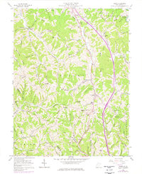
1957 Kenna
Jackson County, WV
1957 Kentuck
Jackson County, WV
1960 Gay
Jackson County, WV
1960 Liverpool
Jackson County, WV
1960 Pond Creek
Jackson County, WV
1960 Sandyville
Jackson County, WV
1994 Pond Creek
Jackson County, WV
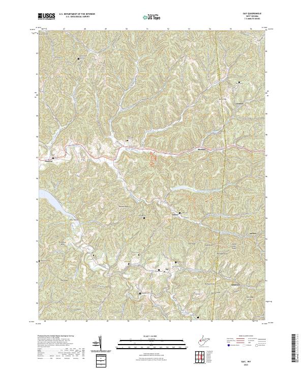
2023 Gay
Jackson County, WV
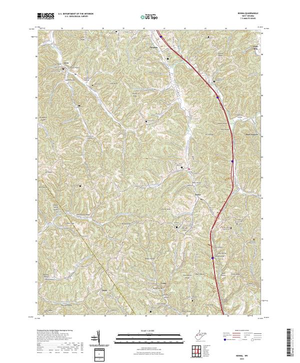
2023 Kenna
Jackson County, WV
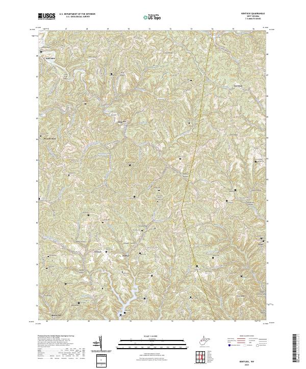
2023 Kentuck
Jackson County, WV
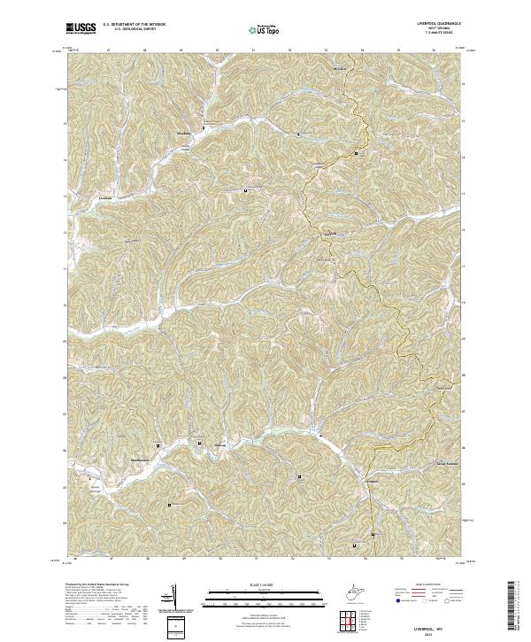
2023 Liverpool
Jackson County, WV
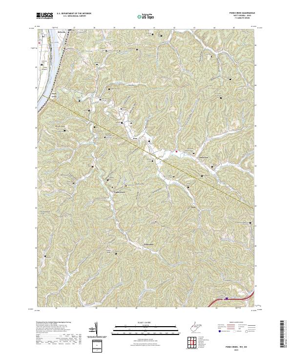
2023 Pond Creek
Jackson County, WV
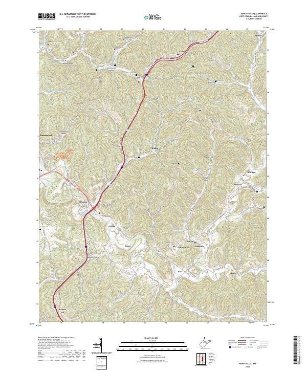
2023 Sandyville
Jackson County, WV