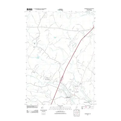
2011 Map of Kennebunk
USGS Topo · Published 2011About this map
Kennebunk and its satellite settlements serve as the focus of this 2011 survey, illustrating the complex relationship between the area's river-driven industrial past and modern residential development. The Mousam River winds through the heart of the village, once powering the production at Bartlett Mills and West Kennebunk. To the northeast, the Kennebunk River flows toward Kennebunk Landing, tracing a historic corridor of commerce and shipbuilding.
Find a feature on this map
112 named features on this map. Tap any name to fly to it.
Don’t see what you’re looking for? This feature index may not catch every label — zoom into the map to look around manually.
Map Details
Editions of this 2011 Kennebunk Map
This is the sole edition of this map. No revisions or reprints were ever made.
Other maps of this area

1891 · Portland
USGS Topo · 1:62,500

1891 · Biddeford
USGS Topo · 1:62,500

1891 · Kennebunk
USGS Topo · 1:62,500

1891 · Buxton
USGS Topo · 1:62,500

1892 · Buxton
USGS Topo · 1:62,500

1893 · Kennebunk
USGS Topo · 1:62,500

1893 · Biddeford
USGS Topo · 1:62,500

1893 · Portland
USGS Topo · 1:62,500

1893 · Buxton
USGS Topo · 1:62,500

1898 · Kennebunk
USGS Topo · 1:62,500