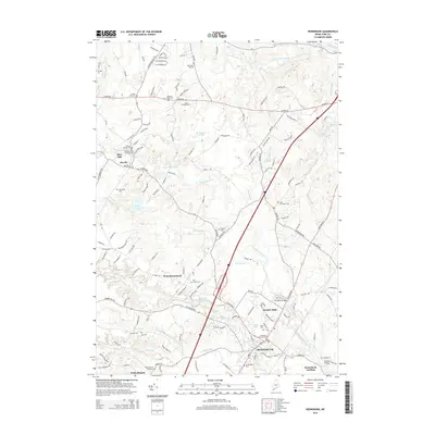
2014 Map of Kennebunk
USGS Topo · Published 2014About this map
Kennebunk and its surrounding river-driven hamlets are captured here at the start of the 21st century, showing a landscape defined by the winding courses of the Kennebunk River and the Mousam River. The map details the historical core of the region, from the dense settlement at West Kennebunk to the industrial legacy of Bartlett Mills and Days Mill. This survey provides significant genealogical value, documenting numerous family and community burial grounds such as the Unitarian Churchyard Cem, Wells Branch Graveyard, and Lord Thompson Cem.
Find a feature on this map
148 named features on this map. Tap any name to fly to it.
Don’t see what you’re looking for? This feature index may not catch every label — zoom into the map to look around manually.
Map Details
Editions of this 2014 Kennebunk Map
This is the sole edition of this map. No revisions or reprints were ever made.
Other maps of this area

1891 · Portland
USGS Topo · 1:62,500

1891 · Biddeford
USGS Topo · 1:62,500

1891 · Kennebunk
USGS Topo · 1:62,500

1891 · Buxton
USGS Topo · 1:62,500

1892 · Buxton
USGS Topo · 1:62,500

1893 · Kennebunk
USGS Topo · 1:62,500

1893 · Biddeford
USGS Topo · 1:62,500

1893 · Portland
USGS Topo · 1:62,500

1893 · Buxton
USGS Topo · 1:62,500

1898 · Kennebunk
USGS Topo · 1:62,500