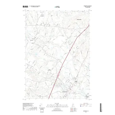
2018 Map of Kennebunk
USGS Topo · Published 2018About this map
The Kennebunk River and Mousam River dominate this coastal Maine landscape, shaping the development of historic centers like Kennebunk and Kennebunk Landing. The map details a transition from tidal waters to inland woods, where the timber and milling history of the region is evident through names like Days Mill, Bartlett Mills, and Grist Mill Pond. This area of York County maintains a significant connection to its maritime and industrial past, preserved here through numerous family-named lots and burial grounds.
Find a feature on this map
151 named features on this map. Tap any name to fly to it.
Don’t see what you’re looking for? This feature index may not catch every label — zoom into the map to look around manually.
Map Details
Editions of this 2018 Kennebunk Map
This is the sole edition of this map. No revisions or reprints were ever made.
Other maps of this area

1891 · Portland
USGS Topo · 1:62,500

1891 · Biddeford
USGS Topo · 1:62,500

1891 · Kennebunk
USGS Topo · 1:62,500

1891 · Buxton
USGS Topo · 1:62,500

1892 · Buxton
USGS Topo · 1:62,500

1893 · Kennebunk
USGS Topo · 1:62,500

1893 · Biddeford
USGS Topo · 1:62,500

1893 · Portland
USGS Topo · 1:62,500

1893 · Buxton
USGS Topo · 1:62,500

1898 · Kennebunk
USGS Topo · 1:62,500