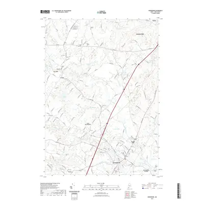
2021 Map of Kennebunk
USGS Topo · Published 2021About this map
The Kennebunk River and Mousam River flow toward the Atlantic in this detailed survey of York County. The settlement of Kennebunk serves as the central hub, supported by smaller historical clusters at West Kennebunk and Kennebunk Landing. The landscape is a mix of active community centers and significant marshlands like Punky Swamp and Arundel Swamp. Local genealogy is well-documented through numerous family-named landmarks and burial grounds, including the Wells Branch Graveyard, Shorey Cem, and the Captain Simon Dennett Lot.
Find a feature on this map
154 named features on this map. Tap any name to fly to it.
Don’t see what you’re looking for? This feature index may not catch every label — zoom into the map to look around manually.
Map Details
Editions of this 2021 Kennebunk Map
This is the sole edition of this map. No revisions or reprints were ever made.
Other maps of this area

1891 · Portland
USGS Topo · 1:62,500

1891 · Biddeford
USGS Topo · 1:62,500

1891 · Kennebunk
USGS Topo · 1:62,500

1891 · Buxton
USGS Topo · 1:62,500

1892 · Buxton
USGS Topo · 1:62,500

1893 · Kennebunk
USGS Topo · 1:62,500

1893 · Biddeford
USGS Topo · 1:62,500

1893 · Portland
USGS Topo · 1:62,500

1893 · Buxton
USGS Topo · 1:62,500

1898 · Kennebunk
USGS Topo · 1:62,500