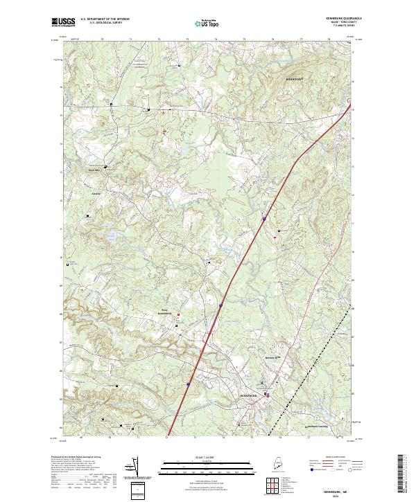
2024 Map of Kennebunk
USGS Topo · Published 2024About this map
Kennebunk and its surrounding mill villages are defined by the winding courses of the Kennebunk River and the Mousam River. This modern survey reveals a landscape where contemporary development follows a historic pattern of small settlements and family-named homesteads. Genealogy researchers can locate numerous private burial grounds and historic lots such as the Nathan Hanson Lot, Joseph Chick Lot, and Nathaniel Hill Lot, which are often difficult to find on standard highway maps.
Find a feature on this map
101 named features on this map. Tap any name to fly to it.
Don’t see what you’re looking for? This feature index may not catch every label — zoom into the map to look around manually.
Map Details
Editions of this 2024 Kennebunk Map
This is the sole edition of this map. No revisions or reprints were ever made.
Other maps of this area

1891 · Portland
USGS Topo · 1:62,500

1891 · Biddeford
USGS Topo · 1:62,500

1891 · Kennebunk
USGS Topo · 1:62,500

1891 · Buxton
USGS Topo · 1:62,500

1892 · Buxton
USGS Topo · 1:62,500

1893 · Kennebunk
USGS Topo · 1:62,500

1893 · Biddeford
USGS Topo · 1:62,500

1893 · Portland
USGS Topo · 1:62,500

1893 · Buxton
USGS Topo · 1:62,500

1898 · Kennebunk
USGS Topo · 1:62,500